 English
 Ελληνικα
(By Takis Galanopoulos)
The file below, after downloading, requires Google Earth application to view:
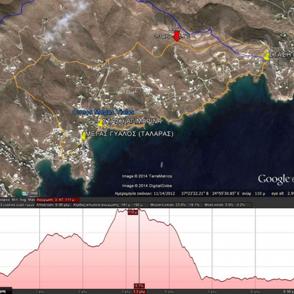
MEGAS GYALOS_TALARAS_ASPROBOUNI_STASH_KANAKARH_1o-EPIPEDO
Total path length : 6.980 m.
Maximum altitude : 111 m.
Total altitude difference : 191 m.
Maximum slope : 23%, average slope : 5 %
For viewing you have to use the Google Earth application which can be downloaded here:
http://www.google.gr/intl/el/earth/download/ge/agree.html


(By Takis Galanopoulos)
The file below, after downloading, requires Google Earth application to view:
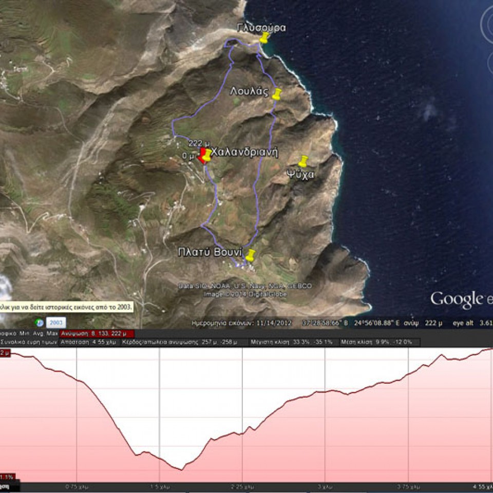
XALANDRIANH_GLYSOYRA_LOYLAS_PLATY_BOYNI
Total path length : 4.550 m.
Altitudes: start at Halandriani =222 m., Glysoura = 0 m., Platy Vouni = 160 m.
Total altitude difference : 258 m.
Maximum slope : 34%, average slope : 11 %
For viewing you have to use ... Read More
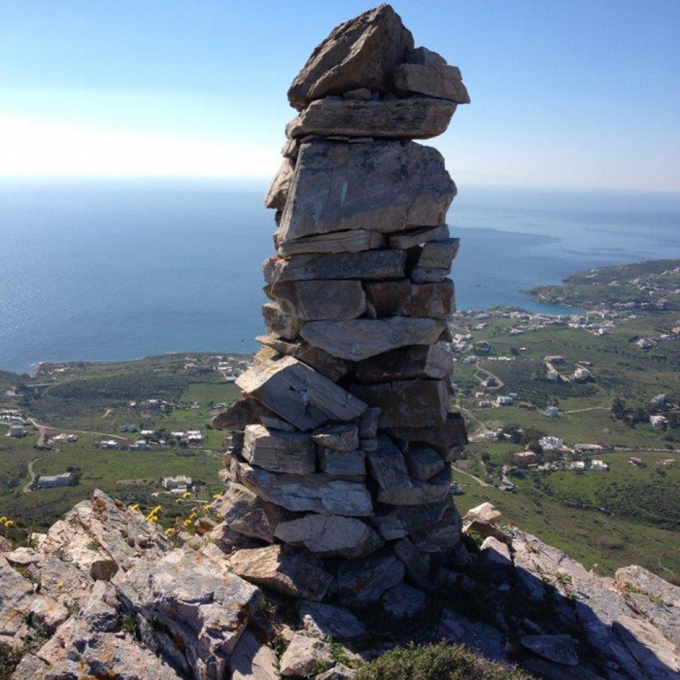
Aerolithos
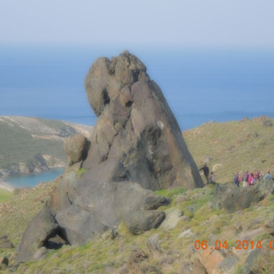
Marmari view
Dyosmos