English
 Ελληνικα

Archive: March, 2014
10
Mar2014
17
Mar2014
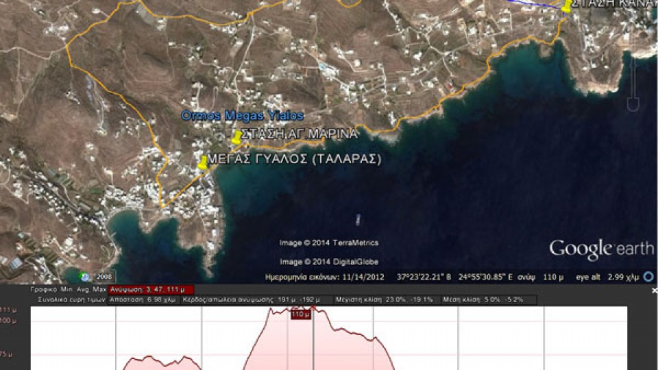
(By Takis Galanopoulos)
The file below, after downloading, requires Google Earth application to view:
MEGAS GYALOS_TALARAS_ASPROBOUNI_STASH_KANAKARH_1o-EPIPEDO
Total path length : 6.980 m.
Maximum altitude : 111 m.
Total altitude difference : 191 m.
Maximum slope : 23%, average slope : 5 %
For viewing you have to use the Google Earth application which can be downloaded here:
http://www.google.gr/intl/el/earth/download/ge/agree.html
10
Mar2014
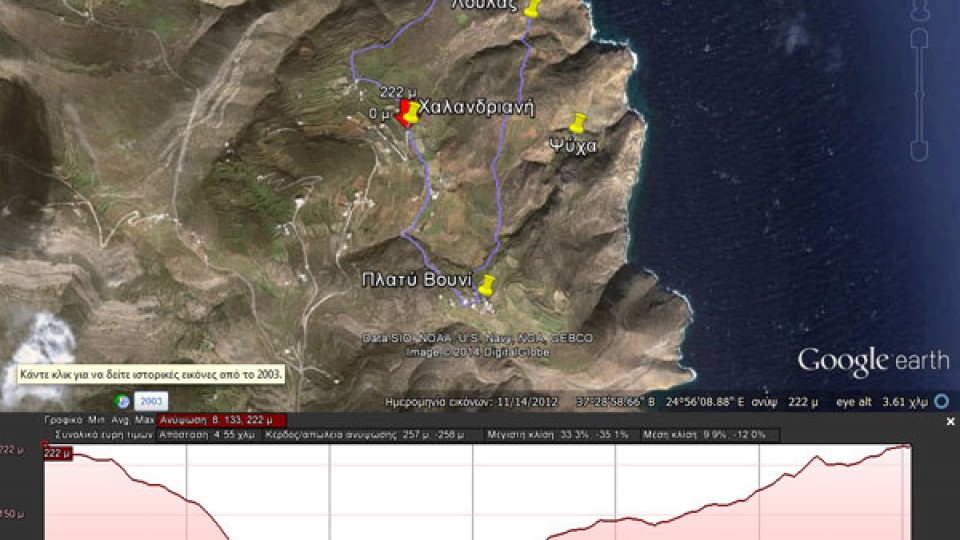
(By Takis Galanopoulos)
The file below, after downloading, requires Google Earth application to view:
XALANDRIANH_GLYSOYRA_LOYLAS_PLATY_BOYNI
Total path length : 4.550 m.
Altitudes: start at Halandriani =222 m., Glysoura = 0 m., Platy Vouni = 160 m.
Total altitude difference : 258 m.
Maximum slope : 34%, average slope : 11 %
For viewing you have to use ... Read More
Error: The video (http://vimeo.com/88184983) couldn't be embedded.
03
Mar2014
The video was produced from syrostoday.gr and this part is only of Syros Hiking Team.
Watch the full video with all teams.
18
Mar2014
To Diaselo, Diapori
From Diaselo to Grammata at the top (Kathreptis)
Kathreptis
08
Mar2014
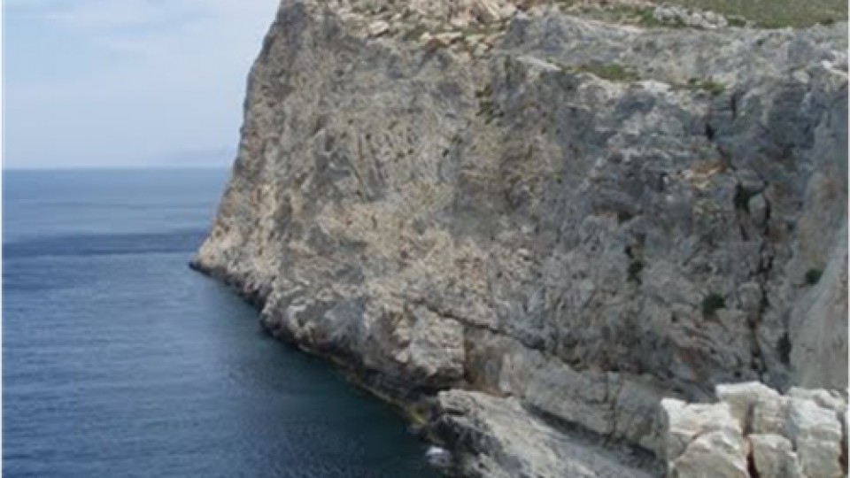
Atsiganokastro
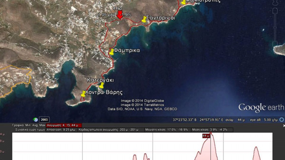
30
Mar2014
(By Takis Galanopoulos)
The file below, after downloading, requires Google Earth application to view:
AZOLIMNOS_XONTRA_BARHS
Total path length : 9.250 m.
Maximum altitude : 44 m.
Total altitude difference : 203 m.
Maximum slope : 17%, average slope : 4 %
For viewing you have to use the Google Earth application which can be downloaded here:
http://www.google.gr/intl/el/earth/download/ge/agree.html