 English
 Ελληνικα
(By Takis Galanopoulos)
The file below, after downloading, requires Google Earth application to view:
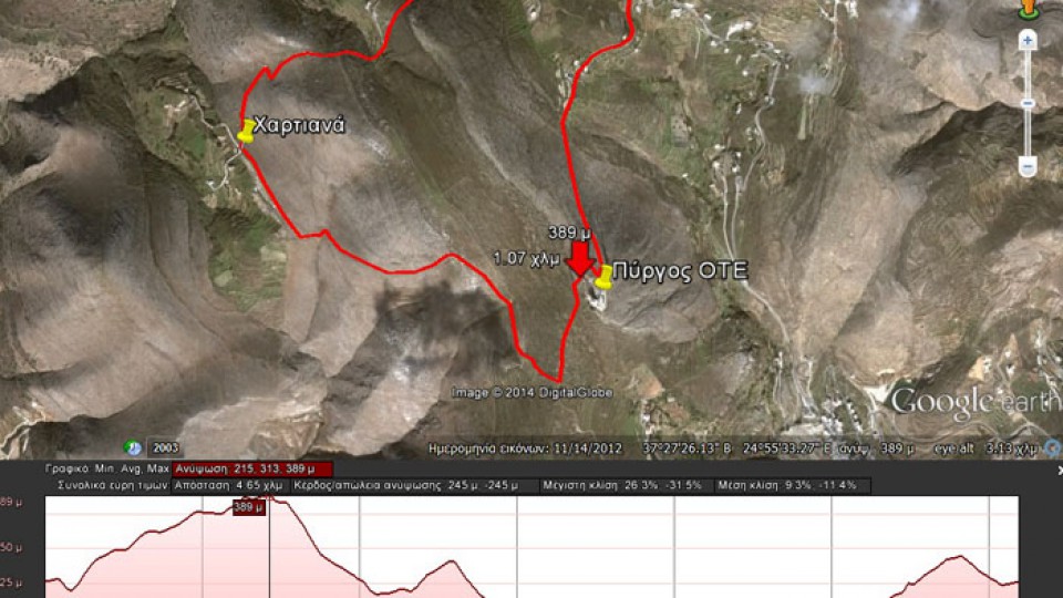
TAVERNA_MARGARO_PYRGOS_OTE_XARTIANA_PLATOS
Path length : 4.650 m.
Altitude start : 325 μ. – Max altitude : 389 m. – Min Altitude : 216 m.
Total altitude difference : 245 μ.
Maximum slope : 31%, average slope : 11 %
For viewing you have to ... Read More


Blog
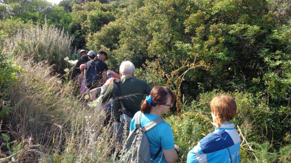
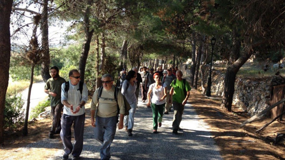
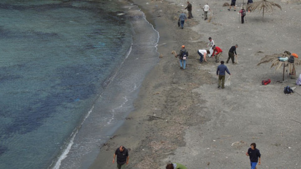
Καθαρισμός μονοπατιού
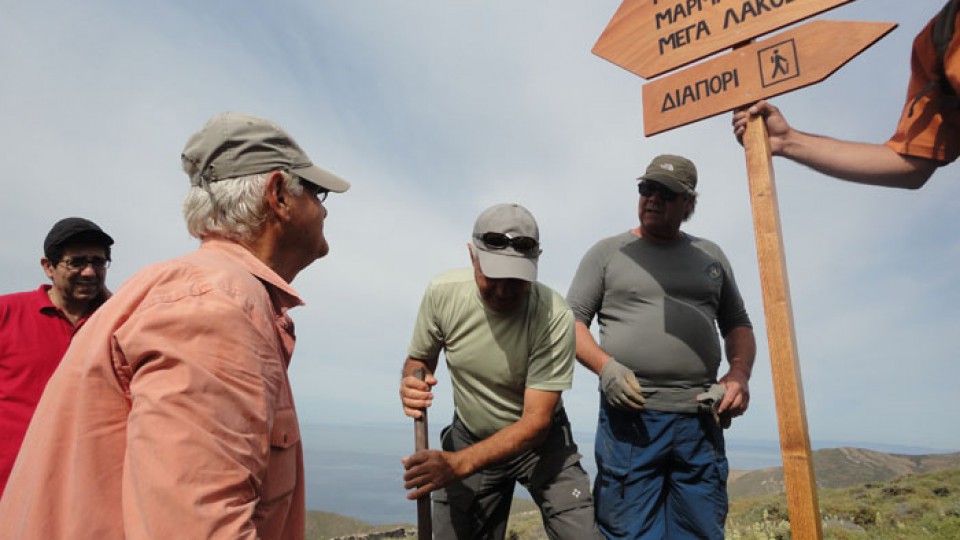
Syros Hiking Team started to place the appropriate signs informing about path.
Already some of the signposts were given from the Municipality of Syros to the team and were placed last Sunday. In the next days more signs will be placed.
Watch the full video of the event from syrostoday.gr:
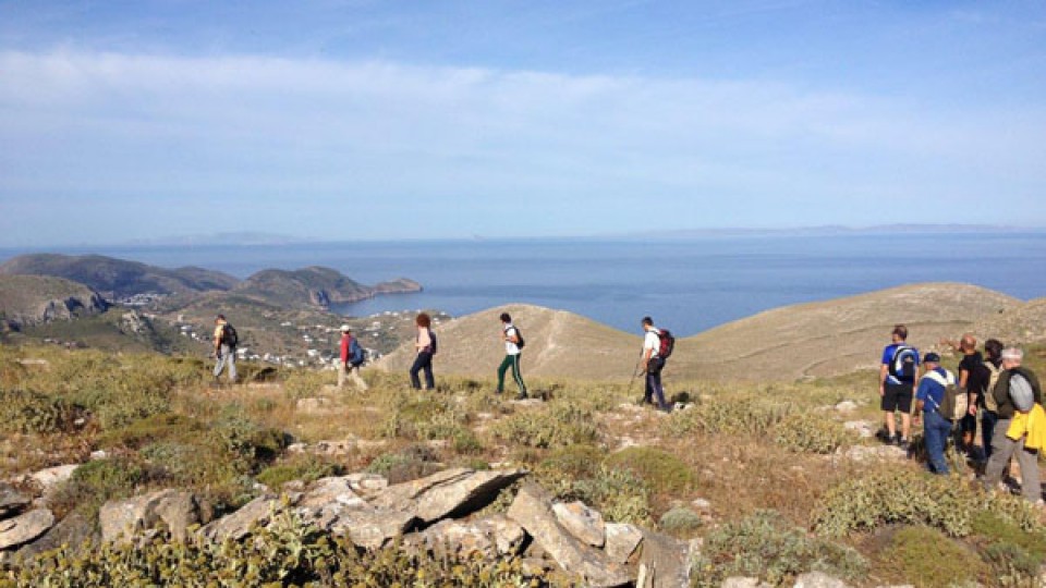
View from the antenna's (Pyrgos)
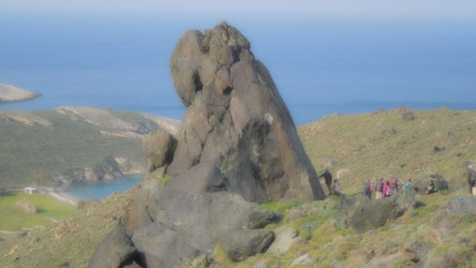
Hartiana
Blooming thyme
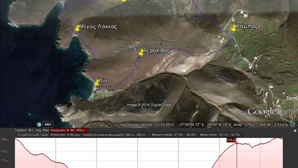
(By Takis Galanopoulos)
The file below, after downloading, requires Google Earth application to view:
KAMPOS_AEROLIUOS_LIA_MARMARI_DYOSMOS
For viewing you have to use the Google Earth application which can be downloaded here:
http://www.google.gr/intl/el/earth/download/ge/agree.html
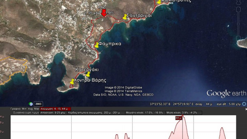
(By Takis Galanopoulos)
The file below, after downloading, requires Google Earth application to view:
AZOLIMNOS_XONTRA_BARHS
Total path length : 9.250 m.
Maximum altitude : 44 m.
Total altitude difference : 203 m.
Maximum slope : 17%, average slope : 4 %
For viewing you have to use the Google Earth application which can be downloaded here:
http://www.google.gr/intl/el/earth/download/ge/agree.html
Aerolithos
Marmari view
Dyosmos